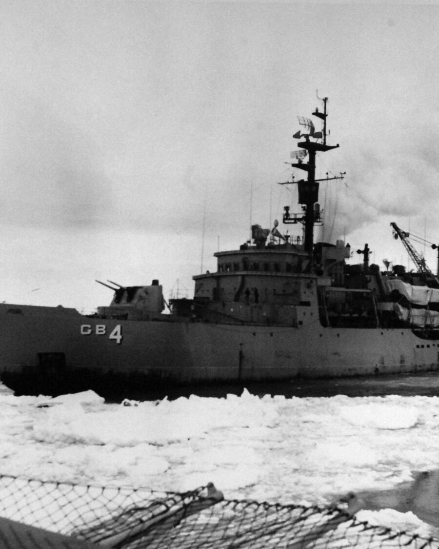
Return to the Phantom Coast IN THE WAKE OF USS GLACIER, 1960
USS Glacier im Packeis, 1960
R E T U R N  T O  T H E

Phantom Coast

IN THE WAKE OF USS GLACIER, 1960
THE RETURN · KOETHER INLET · BELLINGSHAUSEN SEA · 71°56′S 97°20′W
THE STORY

The last coastline anyone drew on the map of the world.

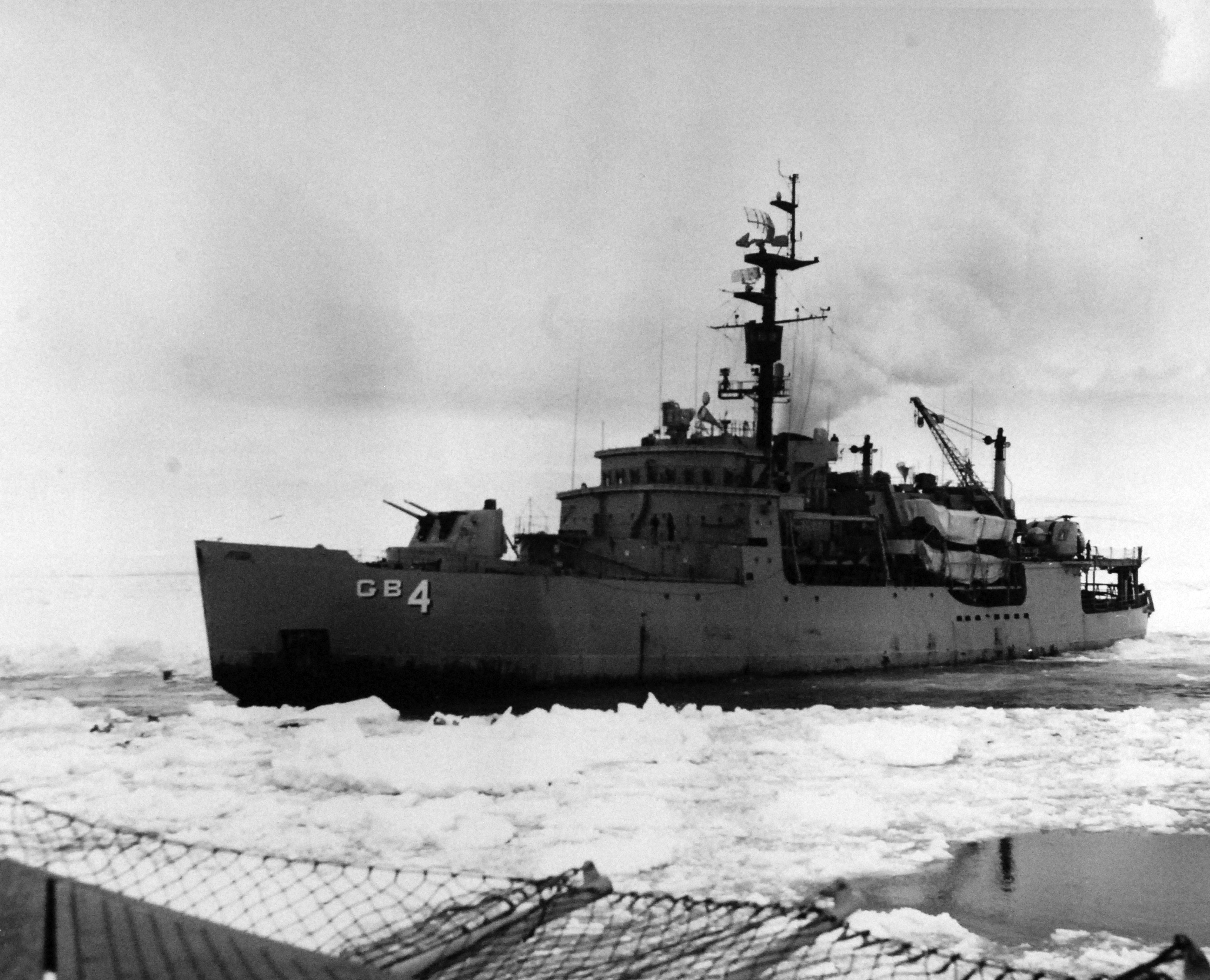
On 15 February 1960, two icebreakers of Operation Deep Freeze, USS Glacier and USS Burton Island, met off Peter I Island and turned south into the Bellingshausen Sea, toward a coastline ships had searched for and never reached. The expedition itself called it the Phantom Coast: the last unmapped coastal sector of Antarctica, and of the world. Glacier became the first icebreaker to force her way through the frozen Bellingshausen Sea, carrying scientists in geology, oceanography, ornithology and topography, and earned the Navy Unit Commendation for it. Much of the topography charted on that voyage is named for her crew.

On the way out, the ice nearly kept her. Beset in heavy pack, hundreds of miles from open water, with winter coming down, the ship that had just charted the last blank space on the map had to fight her way back off it. Now the expedition returns to that coast, led back by the man whose fixes put it on the chart, and whose name it still carries. No civilian expedition has ever landed there. Two goals share the voyage: bringing Ben back to the inlet, and bringing new science to a coast that has hardly been measured since he left it.
1960THE COAST IS CHARTED
0CIVILIAN LANDINGS SINCE
2028THE RETURN
BEN KOETHER · NAVIGATOR, USS GLACIER · OPERATION DEEP FREEZE 60
THE NAVIGATOR

The man the inlet is named after.

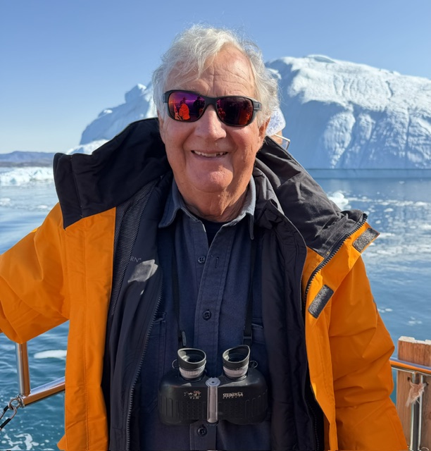
At twenty-three, Ensign Ben Koether was the youngest Navy navigator in the Antarctic, working dead reckoning and sextant fixes through sixty-foot seas and crushing pack ice on the bridge of USS Glacier. The coastline he helped chart carries his name today: Koether Inlet, on the north side of Thurston Island, set on the map by the U.S. Board on Geographic Names.

The ship never let him go. Ben went on to build a business career as an inventor with more than forty patents, founder of KitchenBrains, a hand in the first electronic point of sale register for McDonald's. Then he came back to her: as founder and chairman of the Glacier Society, the veterans' organisation that fought for years to save USS Glacier and today teaches seamanship and environmental studies. More than six decades after his last fix on the Phantom Coast, he is going back to take another.

1960NAVIGATOR, USS GLACIER
90+YEARS OLD AT THE RETURN
71°56′SKOETHER INLET, THURSTON ISLAND
THE MEMOIR
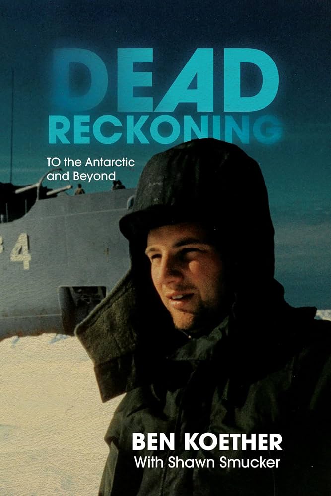
Dead Reckoning: To the Antarctic and Beyond
BEN KOETHER · 2026

Dead Reckoning: To the Antarctic and Beyond

At twenty-three, Ben Koether was the youngest navigator in the U.S. Navy, taking sextant fixes on the bridge of USS Glacier as she forced her way into the frozen Bellingshausen Sea. Dead Reckoning is his own account of that voyage: the charting of the Phantom Coast, the days beset in the pack with fuel and food running low and six hundred men aboard, and the fight back to open water.

The book follows him from the ice into a second life as an inventor and founder, and back to the ship he never let go of. It is the story behind this expedition, told by the man who lived it. If you want to understand why we are going back, start here.

We only have so much time. The fuel and food are running out, the sun is going down. All six hundred of us are going to go down the tube if we can't get out of this ice.

BEN KOETHER ON THE 1960 VOYAGE
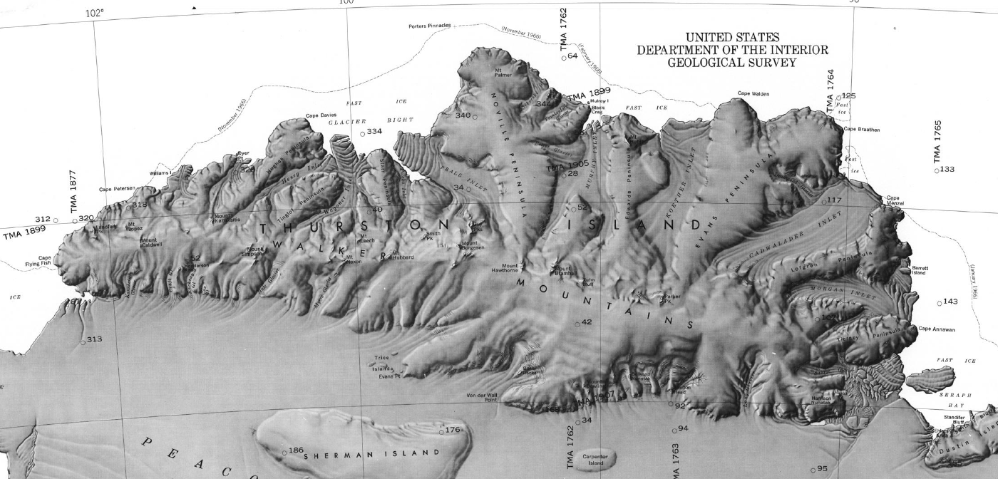
USGS-Karte Thurston Island mit Koether Inlet
KOETHER INLET 71°56′S 97°20′W · THURSTON ISLAND
CHART: U.S. GEOLOGICAL SURVEY · THURSTON ISLAND TO JONES MOUNTAINS
SCIENCE

A coast that ships rarely reach. Science at the heart of the voyage.

In 1960, Ben's ships took the first soundings and ocean stations along this coast. Since then Thurston Island has been reached a few days at a time, mostly by air. Warm deep water reaches the coast and drives some of the highest ice shelf melt rates in Antarctica, and almost nothing here is measured. A ship chartered whole, with two helicopters and days at the Thurston Island coast, is the platform that is missing. Research groups on four continents have told us what they would do with it. Their science rides on the voyage that Ben's return needs anyway.

12+RESEARCH GROUPS IN CONVERSATION
4CONTINENTS
1960THE BASELINE: FIRST SOUNDINGS ON THIS COAST
ROCK AND ICE HISTORY How fast the ice let go Exposure dating and thermochronology at the outcrops near Koether Inlet. The rock records when the ice last covered it and how quickly it thinned.
ICE THICKNESS The island's own ice cap Radar flown from the helicopters over the ice cap and its margins, and an ice divide beside the inlet whose layers tell how long it has held its place.
ICE SHELF AND OCEAN Warm water at the Abbot front Ocean profiles dropped from the helicopters along the ice shelf front, and the ice fronts mapped by drone, where warm deep water drives the melt.
SEAFLOOR A coast without a chart Underway multibeam and short surveys at the shelf break, for the regional bathymetry that still has gaps wherever the ice keeps ships away.
EMPEROR PENGUINS Counting the moult from above Drone counts of emperors moulting on the sea ice near the Noville Peninsula, to calibrate the counts made from space.
LIFE ON LAND Microbes of the nunataks Soils on the island's rock outcrops, a new site at the limits of life, sampled in a few hours ashore.
SNOW AND AIR What the air carries Sun photometer readings taken by the expedition's own guides, and the impurities that reach the surface snow of a coast with no road and no runway.
SEABIRD ARCHIVES A record thousands of years long Snow petrel stomach oil deposits at the colonies, an archive of the birds and their ocean reaching back millennia.
WE BRING The way in The ship, two helicopters, our field team and days at a coast that research ships rarely reach. Our guides collect to your protocols, carry kits south and bring samples home. The 1960 soundings, stations and survey photographs are there for repeat measurements.
YOU BRING The science Your questions, your people and instruments, and the funding for your own research and analysis. Several groups can share one landing, one flight line or one set of samples. Your data and your results stay yours.
EVERY GROUP KEEPS ITS OWN SCIENCE, DATA AND PERMITS. WE PROVIDE THE PLATFORM AND THE HANDS.
Tell us what you would do with a day ashore and a helicopter. Research groups with questions on this coast: write to Matthew Costa, science liaison, about kits and protocols, places aboard and flying time.
MATT@THEPHANTOMCOAST.COM
THE TEAM

An expedition team that has sailed together.

Every role in the field is covered by someone who has done it in Antarctica before.

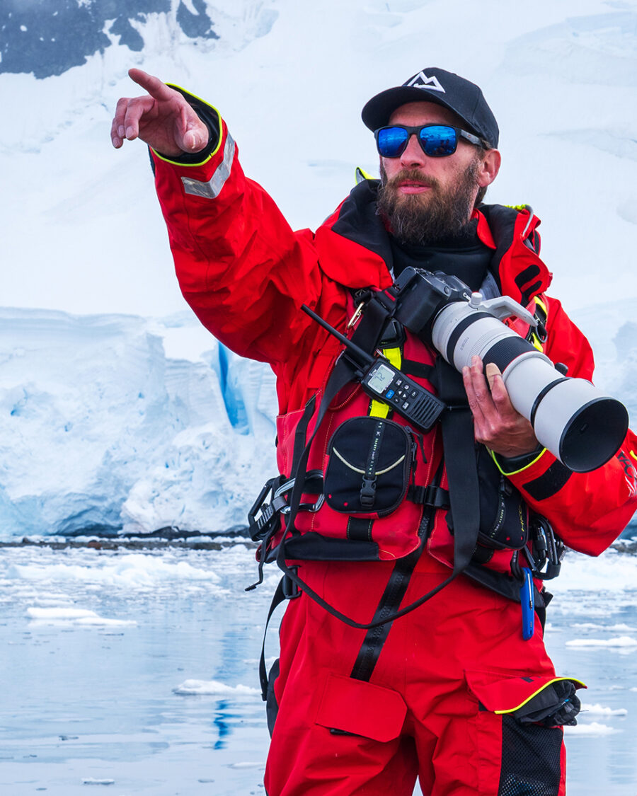
Max Unterharnscheidt
Max Unterharnscheidt PROJECT LEAD · 30+ ANTARCTIC EXPEDITIONS
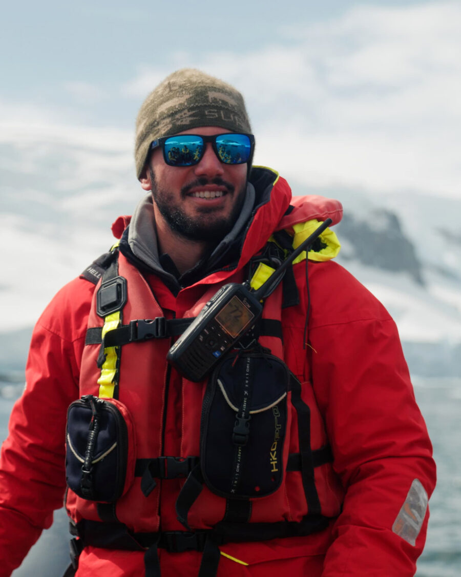
Matthew Costa
Matthew Costa POLAR GUIDE · HISTORIAN · SCIENCE LIAISON
EXPEDITION LEADER CONFIRMED · TO BE ANNOUNCED
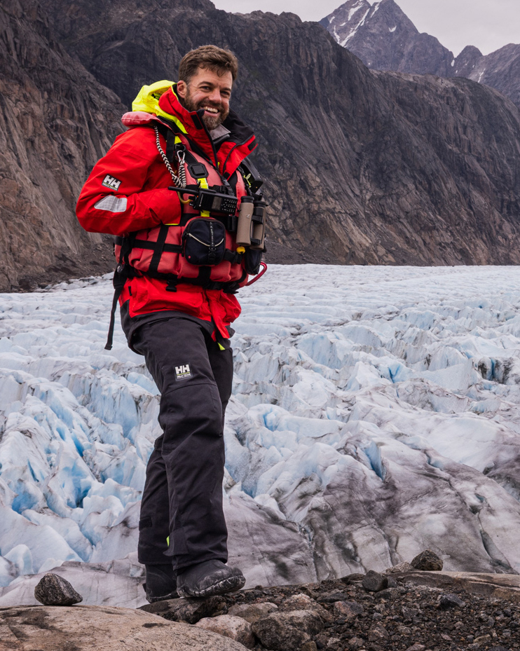
Joe Cockram
Joe Cockram MARINE WILDLIFE SURVEYOR · BIRDS, WHALES, SEALS
THE FILM

One coastline, three stories. Told on film.

Ben's own footage from 1960 sits in the family archive: the ice, the ship, the men on deck at the edge of the map. The expedition adds the second half of that story, the return to the same coast more than six decades on. And the science aboard adds the third: a sector of West Antarctica that is changing faster than almost any other, and that hardly anyone has seen.

The film brings the three together. Not a hero story, a record: what one voyage charted, what has changed since, and why a coast most people have never heard of matters for a continent that matters to everyone. It is being built from the archive first; the expedition writes its second half.

1960BEN'S OWN FOOTAGE, FAMILY ARCHIVE
3STRANDS: HISTORY, EXPEDITION, SCIENCE
WEST ANTARCTICATHE FASTEST CHANGING SECTOR
USS Glacier in the pack ice, 1960
USS GLACIER, 1960
PARTNERS

The expedition grows with its partners.

HISTORY The Glacier Society Keeper of USS Glacier's legacy and the community of the men who sailed her. GLACIERSOCIETY.ORG ↗
SCIENCE Polar science partners Research groups on four continents are in conversation about the voyage: rock, ice, ocean, seafloor, wildlife, air. Partners are named here once they have agreed.
FILM The documentary A record of the coast in three parts: 1960, the return, and the science. Built from the family archive. Production partners are named as they join.
PARTNERS ARE NAMED HERE AS THEY JOIN.
CONTACT

Press and partnership enquiries.